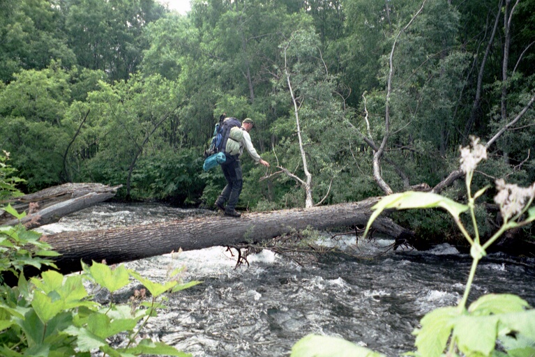
The dynamic nature of the rivers causes continuos changes of the river bed. The pattern of forest and water changes from year to year. Probably this was the reason, that my guide completely got lost in this landscape. He orientated himself only at the topography and didn't use any compass or map. I had a map in a scale of 1:200000 but without geographical coordinates. Unfortunately, you can't rely on the Russian maps of Kamchatka. Because of the strategical importance of the peninsula for the military, the maps of Kamchatka are still falsified, like in the time of the cold war. Such a forged map causes more confusion than it helps.
Luckily I don't trust any guide and I always stored the coordinates of our last camp in my GPS receiver. This made us possible to come back to the place, we spent the night 3 days ago. But we had to gave up our plan to achieve the volcanoes Chodutka and Ksudatch.
